
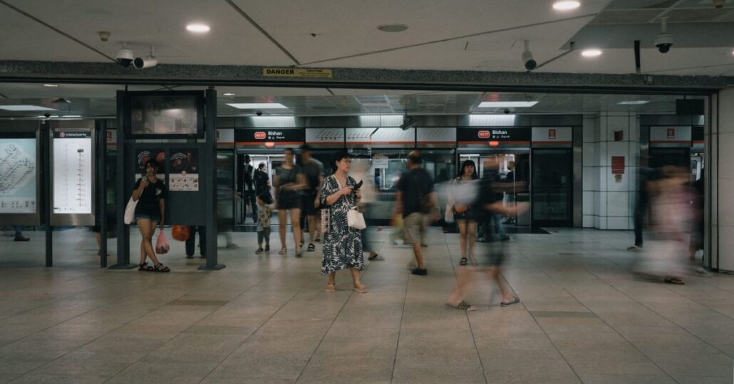
Singapore’s MRT moves roughly three million people every day. If you’ve never really thought about how the whole network connects, or you’re planning a commute around a brand new station, this article is for you.
- What Lines Make Up the Singapore MRT Network?
- What's Changed on the Network in 2026?
- How Does MRT Fare Pricing Work?
- Which Are the Busiest Interchange Stations?
- How Does the TEL Change Commutes in the North and East?
- What Are the Rules and Customs on the MRT?
- Is the MRT Safe and Reliable in 2026?
- How Do the LRT Systems Fit In?
- Planning Your First MRT Journey: A Practical Checklist
- What's Coming Next for the Network?
- Before You Tap In
- FAQ
What Lines Make Up the Singapore MRT Network?
Singapore’s rail system runs on six heavy-rail MRT lines, two Light Rapid Transit (LRT) systems in Bukit Panjang and Punggol/Sengkang, and the newer Jurong Region Line (JRL) opening in stages. Each line has its own colour and letter code, which you’ll see on every map and station sign.
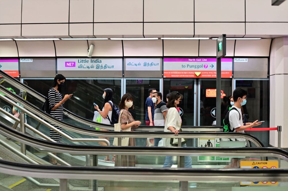
Here’s what the network looks like right now:
| Line | Code | Operator | Key termini |
|---|---|---|---|
| North-South Line | NS | SMRT | Jurong East / Marina South Pier |
| East-West Line | EW | SMRT | Tuas Link / Pasir Ris |
| North-East Line | NE | SBS Transit | HarbourFront / Punggol Coast |
| Circle Line | CC | SMRT | HarbourFront (loop + spur) |
| Downtown Line | DT | SBS Transit | Bukit Panjang / Expo |
| Thomson-East Coast Line | TE | SMRT | Woodlands North / ongoing TEL4 & TEL5 |
The Thomson-East Coast Line (TEL) is the network’s newest major addition, still rolling out in phases, with Stage 4 having opened in June 2024 and Stage 5 expected in the second half of 2026. The Jurong Region Line (JRL) is under construction and will eventually connect Jurong, Choa Chu Kang, Tengah, and the NTU campus, with Stage 1 targeted for around mid 2028.
Getting around Singapore? Find any station on the interactive MRT map, or save the PDF map to use offline.
What’s Changed on the Network in 2026?
The Circle Line got its biggest boost in years on 12 July 2026 when Stage 6 opened, adding three new stations and finally closing the loop that planners always envisioned. Commuters can now travel the full Circle Line without doubling back, which cuts travel time for thousands of residents in the newly connected areas.
The Downtown Line made headlines too. The Straits Times reported that overall MRT reliability hit an all-time network high in August 2026, with the Downtown Line alone posting a 99.3% improvement in mean kilometres between failures compared to July. That’s a remarkable turnaround for a line that drew plenty of complaints in earlier years. The whole network has now clocked its longest stretch of consistent high reliability in over a decade.
The TEL corridor in the north continues to grow. Woodlands North is fully built and set to become Singapore’s terminus for the Johor Bahru-Singapore Rapid Transit System (RTS) Link, arriving in 2027. If you’re crossing the Causeway regularly, watch this space.
How Does MRT Fare Pricing Work?
Singapore uses distance-based fares, so you pay more the further you go, but in small, capped increments. As of late 2026, most journeys cost between around S$0.83 and S$2.37 with a card. Cash fares at the machines are higher, typically at least S$1.00 more, so always use a card.
Students, seniors aged 60 and above, and passengers with disabilities get concession fares. A trip that costs an adult S$1.50 by card might cost a student less than S$1.00. All concession cards must be registered through SimplyGo at simplygo.com.sg.
How do you pay for MRT rides?
You have four main options at the fare gates:
- EZ-Link card: The classic blue-and-yellow card, topped up at ticket machines, 7-Eleven, or the EZ-Link app. Tap in and tap out; fares deduct automatically.
- SimplyGo account: Link your EZ-Link card or NETS FlashPay card to SimplyGo, allowing bank transfer top-ups and spending history tracking.
- Contactless bank card or mobile wallet: Visa, Mastercard, American Express contactless cards work directly at fare gates. Apple Pay and Google Pay also work, which is handy for visitors who don’t want to buy a separate card.
- Singapore Tourist Pass: Unlimited travel for one, two, or three days at a flat rate. Worth grabbing if you’re covering lots of ground in a short visit.
Common mistake: tap in with one payment method and try to tap out with another. The system won’t match the records and you’ll get stuck at the exit gate. Always use the same card or device for both ends of your journey.
Which Are the Busiest Interchange Stations?
Interchange stations connect two or more lines, and some get genuinely crowded during peak hours. Raffles Place (EW/NS), City Hall (EW/NS), Dhoby Ghaut (CC/NE/NS), Outram Park (EW/NE/TE), Jurong East (EW/NS), and Buona Vista (CC/EW) are consistently the busiest.
If you’re heading to the city’s cultural precinct, Esplanade and Bras Basah on the Circle Line put you within walking distance of the National Museum, the Arts House, and the Padang. Neither is an interchange, which means they stay calm even at 8.00am on a Monday.
For the east side, stations like Dakota and Mountbatten on the Circle Line often fly under the radar. Dakota sits right by Old Airport Road hawker centre, and Mountbatten is a quick jump from the Kallang sports precinct.
How Does the TEL Change Commutes in the North and East?
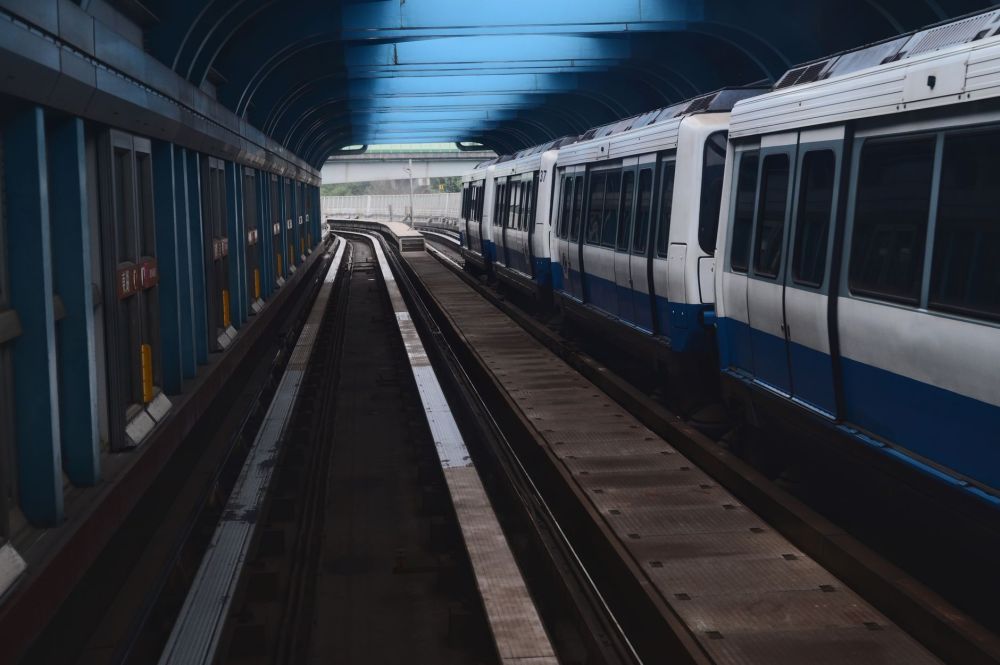
The Thomson-East Coast Line (TEL) has been the biggest change to the network in years, linking the northern residential belt from Woodlands North through Orchard and down to the eastern coast. Stations like Lentor and Springleaf serve HDB estates and private housing clusters that previously had no direct rail access. For residents there, the commute time improvement has been dramatic.
Further south, stations like Great World and Shenton Way serve the CBD and River Valley corridor. Before the TEL, you’d need a connecting bus from the nearest NS or EW station. The line also gives Orchard three new entry points at Orchard Boulevard, Orchard, and Great World, spreading foot traffic more evenly across the shopping belt.
The marina section includes Gardens by the Bay and Marina South, both transforming the Marina Bay waterfront into a genuinely car-free destination for visitors. Weekend crowds at Gardens by the Bay on Saturday evening say it all.
What Are the Rules and Customs on the MRT?
Singapore’s MRT has some of the clearest codes of conduct of any metro system. Some are legally enforced; others are social norms locals follow automatically.
- No eating or drinking inside the train or on platforms. This includes gum, sweets, and water. The fine reaches S$500 for a first offence.
- No durians. Yes, there are signs. Yes, they’re serious.
- Priority seats (marked in yellow) go to pregnant women, elderly passengers, and those with young children or mobility difficulties. This isn’t just courtesy; persistent offenders have faced public campaigns.
- Queue at the yellow markings on the platform, and let passengers alight before you board. The doors aren’t going anywhere.
- No reserved seats for prams, but most commuters will shift to fit pushchairs, especially outside peak hours.
Keep your bag in front of you during crowded trains rather than on your back. You’ll take up far less space and avoid accidental nudging. Seasoned MRT riders all do this.
Is the MRT Safe and Reliable in 2026?
By every measure, yes. As of September 2026, overall MRT reliability is at an all-time network high, with mean kilometres between failures for the whole system surpassing 2 million train-kilometres for extended periods. That’s consistency most global metro systems would envy.
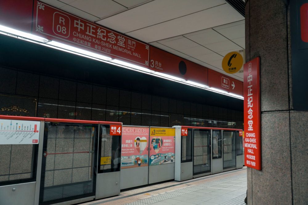
SMRT and SBS Transit both operate under strict performance contracts with the LTA, including financial penalties for service gaps that exceed set limits. The network has also benefited significantly from signalling upgrades rolled out over recent years, improving train frequency and the system’s ability to bounce back from incidents quickly.
One governance matter came to light in September 2026 worth knowing about. The government confirmed a review of historical property purchases by civil servants involved in rail planning between 2007 and 2011, after a working paper raised concerns that some officers may have bought properties near unannounced future MRT stations. The Public Service Division said it takes the issue seriously, though it doesn’t automatically establish misconduct. This review concerns institutional integrity, not current service quality, and your daily commute is completely unaffected.
How Do the LRT Systems Fit In?
Singapore has three LRT systems: Bukit Panjang LRT (BPLRT), Sengkang LRT, and Punggol LRT. These smaller, automated feeder systems loop through HDB estates and connect residents to the main MRT lines. The BPLRT links to the North South Line at Choa Chu Kang and to the Downtown Line at Bukit Panjang. Sengkang and Punggol LRT both connect to the North-East Line at their respective interchanges.
LRT fares integrate with the MRT system. If you board an LRT and transfer to the MRT within the same journey, you pay one combined distance-based fare, not two. Just don’t tap out between the LRT and MRT interchange, or the system treats them as separate trips.
Planning Your First MRT Journey: A Practical Checklist
New to the network or helping someone navigate it? Sort these out before you hit the fare gate:
- Get your payment sorted first. Buy an EZ-Link card at any TransitLink Ticket Office inside a major station, or use a contactless bank card from day one.
- Check the station exit before you alight. Most stations have multiple exits (A, B, C, etc.). The wrong exit can mean a five-minute detour. Google Maps shows exit letters for most Singapore MRT stations.
- Know your interchange. If you need to change lines, you don’t tap out and back in. Just walk between platforms within the same paid zone.
- First and last train times vary by station. Trains generally run from around 5.30am until just before midnight. On Fridays and the eve of public holidays, trains run later. Check smrt.com.sg for exact last-train timings.
- The MRT isn’t always fastest for short hops. Between Somerset and Novena, for example, a bus along Orchard Road often beats going via Dhoby Ghaut interchange because of the walking distance involved.
In the heartlands, knowing the neighbourhood layout helps. Hougang and Kovan on the North-East Line sit surrounded by food and local shops within a two-minute walk of Exit A. You don’t need to plan much; heartland station design almost always puts you right in the heart of daily life.
What’s Coming Next for the Network?
Several expansions are under construction or in advanced planning as of September 2026. The Jurong Region Line is under construction, with Stage 1 targeted for around mid 2028, and will bring rail access to Tengah and parts of western Singapore that have historically relied on buses. The Cross Island Line (CRL) is progressing in phases, with Phase 1 under construction connecting Ang Mo Kio, Hougang, and Pasir Ris in a way the current network doesn’t. Phase 3 will eventually add four more stations with interchanges to the East-West and Jurong Region lines.
The TEL continues south and east. Stations such as Bedok South, due when TEL Stage 5 opens, are expected to add further eastern coastal coverage, complementing the stations that have already opened along the coast since June 2024. Once complete, the TEL will be Singapore’s longest single MRT line.
Will there be more LRT expansions?
The Punggol Digital District, a mixed-use tech and business area, is served by the existing Punggol LRT. No publicly confirmed new LRT lines are in the pipeline as of late 2026, though the JRL effectively does the job an LRT extension would have served in the Jurong and Tengah areas.
Before You Tap In
Singapore’s MRT is genuinely one of the best urban rail systems anywhere, and as of late 2026, it’s running at its most reliable in a generation. For a daily commute, a weekend trip to the museums or a first visit to the city, the network will get you there affordably and on time. Check our individual station guides for specific exit information, nearby food, and walking routes. If the northern Thomson corridor is part of your regular route, bookmark Bright Hill and Upper Thomson.