
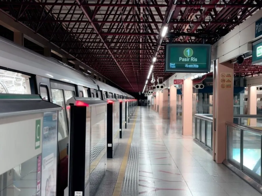
From five stations in 1987 to over 130 today, the Singapore MRT has grown into a comprehensive network. In less than four decades, the rail network has transformed from a single line serving Jurong East to Marina South Pier into a comprehensive system of six MRT lines and three LRT networks spanning neighbourhoods from Woodlands North to Punggol Coast. Daily commuters might not think much about how far the system has come. The journey from the first red line to today’s Circle Line Stage 6 completion shows how strategic planning and investment have reshaped Singapore’s urban landscape.
- How it started: November 1987 and five stations
- Expansion through the 1990s and 2000s: the East West and North East Lines
- The Downtown and Circle Lines: driverless ambition reaches new heights
- The Thomson-East Coast Line: technology and landscape
- The three LRT systems: connecting the heartlands
- How payment and fares have evolved
- What's next: expansion to 2030 and beyond
- The human impact of network growth
- Operating the network today
- Before you tap in
- FAQ
How it started: November 1987 and five stations
The North South Line (NSL) opened on 12 November 1987 with five stations: Jurong East (NS1), Bukit Batok (NS2), Bukit Gombak (NS3), Choa Chu Kang (NS4) and Yew Tee (NS5). This modest 7-kilometre segment in the west eventually stretched 45 kilometres from Jurong East to Marina South Pier (NS28). The red line, as locals know it, served as the backbone of Singapore’s then-young vision to create a world-class public transport system.
That first line was revolutionary for its time. Driverless, fully automated metro systems were still a novelty globally. Singapore’s engineers and planners studied international best practices, particularly from Japan and France, to create a network that would be reliable, efficient and expandable. The 27-station North South Line today reflects that original vision of stretching north-south across the entire island.
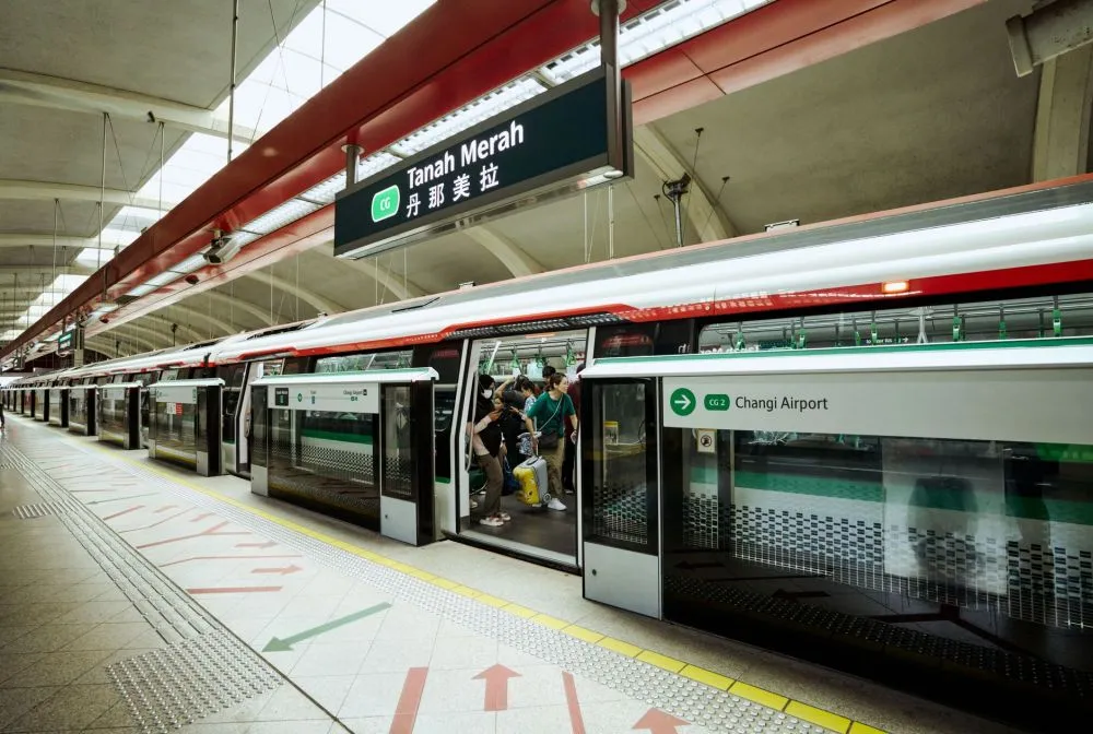
In 1987, few Singaporeans could have imagined that within a single generation, the rail network would reach nearly every corner of the island. The focus was on establishing the credibility and safety of a new technology. Early riders were adventurous commuters who trusted the untested system. Today’s passengers take the trains for granted, yet they ride on infrastructure whose foundations were laid that November.
Getting around Singapore? Find any station on the interactive MRT map, or save the PDF map to use offline.
Expansion through the 1990s and 2000s: the East West and North East Lines
The East West Line (EWL) opened in stages, with expansion continuing over the decades. This 57-kilometre line serving 35 stations, from Pasir Ris (EW1) to Tuas Link (EW33), took decades to complete. This green line is the network’s longest and connects the industrial west with residential estates and the airport in the east. The Changi Airport branch (CG1 Expo to CG2 Changi Airport) added crucial transport to one of Asia’s busiest aviation hubs.
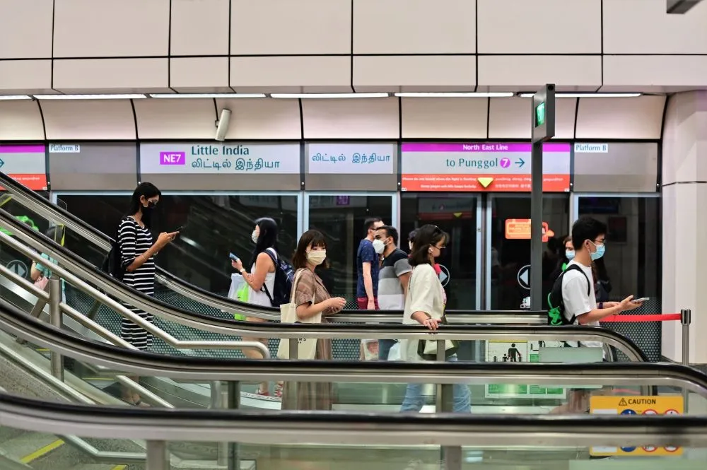
The North East Line (NEL) opened in 2003. This purple line was Singapore’s first fully driverless MRT line; the North South Line added driverless operation gradually. The NEL’s 17 stations now run from HarbourFront (NE1) to Punggol Coast (NE18), serving a route that connects the southern harbour to the northeast heartlands. The most recent addition to the NEL was Punggol Coast, which opened on 10 December 2024, extending the line into a fast-growing residential area.
The rail network had grown to dozens of stations by the early 2000s. The pace of expansion accelerated: technology improved, construction expertise deepened, and political commitment to public transport strengthened.
The Downtown and Circle Lines: driverless ambition reaches new heights
The Downtown Line (DTL) opened in 2013, marking a shift toward more ambitious driverless networks. The blue line spans 35 stations from Bukit Panjang (DT1) to Expo (DT35) and introduced a different kind of route. Rather than simple point-to-point connections, it serves the heartlands, the CBD and eastern growth areas, creating multiple convenient interchanges.
The most recent DTL station to open was Hume (DT4) on 28 February 2025, completing major sections of the line. The Downtown Line eventually connected Bukit Panjang, the city centre, and eastern residential zones, making complex journeys much simpler for millions of commuters.
The most transformative milestone is the Circle Line (CCL). Announced as a fully circular loop, the orange line (often called yellow) has opened in stages since 2009. On 12 July 2026, Stage 6 opened with three new stations (Keppel CC30, Cantonment CC31, Prince Edward Road CC32), completing the 33-station fully driverless circular route. The loop connects HarbourFront (CC29) to Marina Bay (CE2) via the Marina Bay extension, creating a continuous circuit through the heartlands and the CBD.
The Thomson-East Coast Line: technology and landscape
The Thomson-East Coast Line (TEL), the brown line, is the network’s latest major infrastructure achievement. Opened in stages and now serving 27 stations from Woodlands North (TE1) to Bayshore (TE29), the TEL was completed with Stage 4 (Tanjong Rhu TE23 to Bayshore TE29) opening on 23 June 2024. This line traverses challenging terrain, including underground sections through nature reserves and densely built areas.
The TEL’s engineering complexity and cutting-edge driverless technology make it notable. The line required tunnelling through sensitive environmental areas and integrating with existing urban infrastructure. Two stations, Mount Pleasant (TE10) and Marina South (TE21), are built but not yet open; trains pass through them as the network prepares for future demand.
The TEL does not serve Changi Airport directly (that remains the East West Line’s domain via the Changi branch), but it connects central areas with emerging growth zones, including Bayshore’s waterfront developments.
The three LRT systems: connecting the heartlands
Beyond the six MRT lines, Singapore operates three separate LRT networks that serve local neighbourhoods. The Bukit Panjang LRT connects 13 stations from Choa Chu Kang (BP1) to Senja (BP13), operated by SMRT. This light-rail system integrates with both the North South Line at Choa Chu Kang and the Downtown Line at Bukit Panjang (DT1/BP6), creating a vital link for western estates.
The Sengkang LRT operates 14 stations across two loops (East and West) in the northeast, with Sengkang (NE16) serving as the hub connecting to the North East Line. Similarly, the Punggol LRT has 15 stations on two loops (East and West), centred on Punggol (NE17), also feeding the North East Line. These LRT systems, operated by SBS Transit, efficiently serve high-density neighbourhoods that would be harder to justify with full MRT infrastructure.
Together, the six MRT lines and three LRT networks create a system that no Singaporean travelling in 1987 could have imagined. Over 130 stations are now within reach for daily commuters, tourists and businesses.
How payment and fares have evolved
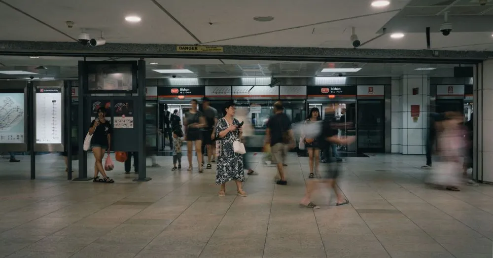
The Singapore MRT has also transformed its payment system dramatically. In 1987, passengers bought paper tickets at each journey. Over decades, this shifted to stored-value cards, and then to the modern system launched today. You now pay by contactless bank card or mobile wallet using SimplyGo, or by EZ-Link / SimplyGo card. Paper tickets were entirely phased out in 2022.
Fares are distance-based and set by the Public Transport Council (PTC). From 26 December 2026, adult card fares will rise 12 cents (up to 3.2 km) or 13 cents (longer trips), following a fare adjustment announced on 29 September 2026. Concession fares for seniors and persons with disabilities, and student fares, are significantly lower. Visitors can use the Singapore Tourist Pass for unlimited rides across 1, 2 or 3 days, a convenience the 1987 system could never have offered.
What’s next: expansion to 2030 and beyond
The future MRT map shows Singapore’s continued ambition. Two major expansions are targeted for the second half of 2026: Stage 5 of the Thomson-East Coast Line (Bedok South TE30 and Sungei Bedok EW5) and the Downtown Line 3 Extension (Xilin DT36 and Sungei Bedok EW5). The Jurong Region Line Stage 1 is due around mid 2028, opening up southwestern growth areas. The Cross Island Line Phase 1 targets 2030, bringing 12 new stations from Aviation Park to Bright Hill.
Looking further ahead, infrastructure planned for the 2030s includes extensions to Changi Airport Terminal 5 via the Thomson-East Coast Line, a DTL extension to Sungei Kadut, and phases 2 and 3 of the Cross Island Line through 2032 and the late 2030s. Each expansion follows the same vision laid out nearly 40 years ago: connecting people to jobs, homes, schools and leisure with a reliable, driverless metro network.
Two operators run the network today. SMRT Trains operates the North South Line, East West Line, Circle Line, Thomson-East Coast Line, and Bukit Panjang LRT. SBS Transit (part of ComfortDelGro) operates the North East Line, Downtown Line, Sengkang LRT, and Punggol LRT. This split responsibility has allowed both companies to build expertise and deliver reliable service to millions of daily riders.
The human impact of network growth
Behind these statistics lie real changes in how Singaporeans live and work. A commuter who took that first train in 1987 from Jurong East could reach only Yew Tee. Today, that same person can travel 45 kilometres to Marina South Pier on the North South Line alone, or switch to any of five other lines and reach virtually every major neighbourhood. Journey planning has become simpler; interchanges more intuitive; access to employment, education and leisure more democratic.
The network has also changed property values, business location decisions, and urban density patterns. Stations that seemed remote decades ago are now surrounded by housing and commercial development. The rail network did not just follow growth; it led it, enabling Singapore to accommodate a growing population without gridlock.

Operating the network today
Today’s MRT operates with remarkable efficiency. First trains leave terminals between 5.15am and 5.40am on weekdays, with services on Sundays and public holidays starting 15 to 30 minutes later. Last full-length trains depart between 11.18pm and 11.56pm. The MRT does not run 24 hours, though New Year’s Eve and major events sometimes see extended services. The operating hours page details each line’s schedule.
Safety, cleanliness and punctuality are hallmarks the system inherited from its founders’ vision and maintains through continuous investment. Over 3 million journeys occur daily across the network, making Singapore’s MRT one of Asia’s busiest rail systems per capita.
Before you tap in
The Singapore MRT’s journey from five stations to over 130 reflects decades of planning, engineering and political will. Whether you ride daily or occasionally, you are part of a network that transformed from an experimental idea into a model system adopted by cities worldwide. The next phases of expansion through 2040 will continue this legacy. Use the interactive MRT map to explore today’s network, or check the current fare table to plan your next journey.