
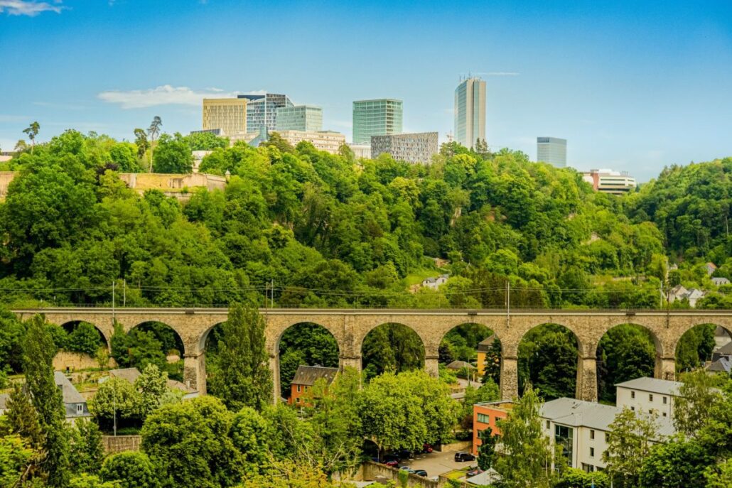
The Jurong Region Line is the first MRT line in Singapore built entirely above ground, and its builders often had only four hours a night to work beside busy roads such as the PIE. That one constraint explains why the project took years, and why the line will feel different from the ones you ride today.
- What did The Straits Times report about the Jurong Region Line?
- Why is Jurong Region Line construction so difficult?
- What does JRL Stage 1 include, and how far along is it?
- Why will the Jurong Region Line run three-car trains?
- How will the Jurong Region Line change west-side journeys?
- When will the rest of the Jurong Region Line open?
- What should west-side commuters do before 2028?
- Before you tap in
- FAQ
What did The Straits Times report about the Jurong Region Line?
On 2 October 2026, The Straits Times reported that the viaducts of the Jurong Region Line went up mostly in the dead of night, in four-hour blocks, and that Stage 1 is now about 80 per cent complete. The report also confirmed the line’s scale: 24km, 25 stations and three interchanges at Choa Chu Kang, Boon Lay and Jurong East.
The idea is older than many riders realise. The JRL was first announced in 2001 as a light rail system. It was unveiled in its current form in the 2013 Land Transport Master Plan, when the western region was being shaped around new homes and employment centres.
Station names have not been announced yet. According to the report, they will be made known later.
The line is meant to serve Choa Chu Kang, Boon Lay and Tengah residents. It should also improve access to the Jurong Innovation District, Jurong Lake District and Nanyang Technological University (NTU). Several neighbourhoods that existing lines under-reach are on the list, including parts of Jurong East, Choa Chu Kang, Yuhua, Pioneer and Gek Poh.
Getting around Singapore? Find any station on the interactive MRT map, or save the PDF map to use offline.
Why is Jurong Region Line construction so difficult?
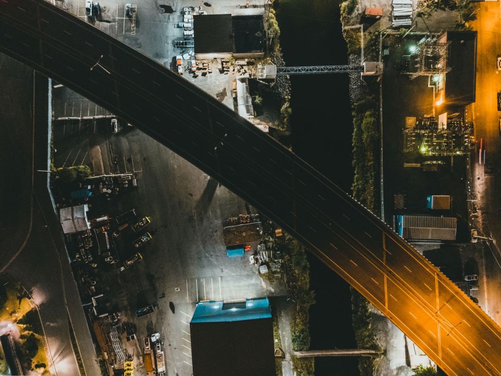
Jurong Region Line construction is difficult because an above-ground MRT line has to be built in plain sight, over roads that stay in use, in a part of Singapore that is already built up. Crews could only close roads when traffic thinned out, which gave them four-hour windows in the early hours.
Compare that with an underground line. Tunnelling and station boxes sit below the surface, and most of the disruption stays inside hoardings. A viaduct is the opposite. The columns rise next to the carriageway, and the spans cross it. For years, motorists on the PIE watched large concrete columns appear beside the expressway.
Think about what a four-hour window means in practice. Crews must set up, do the work, clear the site and reopen the lanes before the morning rush, every time. A task that might take one long closure on an empty site has to be broken into many short night shifts.
The visibility also cuts both ways for residents. Viaducts and stations went up right outside some homes, bringing years of noise, dust and disruption to the doorstep. The report spoke to a Jurong East resident whose block overlooks the future JE4 station. The payoff for such neighbours is a station at their doorstep, rather than a long walk or bus ride to the nearest one.
What does JRL Stage 1 include, and how far along is it?
JRL Stage 1 covers 10 stations between Choa Chu Kang, Boon Lay and Tawas, and it is about 80 per cent complete as of 3 October 2026. LTA told The Straits Times that structural works at all 10 stations and their viaducts are finished.
What remains is the finishing work: electrical and mechanical installations, architectural finishes and external works. That is the stage where a station starts to look like a station, and where systems get tested before trains carry passengers.
Stage 1 also brings the new line into contact with the existing network. It will have interchanges with the North South Line (NSL), the East West Line (EWL) and the Bukit Panjang LRT. Choa Chu Kang is NS4 on the NSL and BP1 on the Bukit Panjang LRT. Boon Lay is EW27 on the EWL. Our pages on Choa Chu Kang MRT Station and Boon Lay MRT Station show how each is laid out today.
How do the three JRL phases compare?
The line opens in phases, and the report sets out what each one adds. Stage 1 is the only phase with a firm date in our verified information, around mid 2028.
| Phase | Stations added | Where it runs | Notes |
|---|---|---|---|
| Stage 1 | 10 | Choa Chu Kang to Boon Lay and Tawas | Around mid 2028; links to NSL, EWL and Bukit Panjang LRT |
| Second phase | Seven | Tengah to Pandan Reservoir | Interchange at Jurong East |
| Third phase | Seven | Through NTU down to Jurong Pier | Completes the line |
| JS2A | One infill station | Between JS2 and JS3, in Tengah | Targeted mid-2030s, with nearby developments |
Why will the Jurong Region Line run three-car trains?
The Jurong Region Line will run smaller three-car trains because it is a medium-capacity line that has to take tighter curves through built-up areas. LTA’s design also allows a fourth car to be added later if demand rises.
This is the practical consequence of weaving a line between existing blocks, roads and expressways. A viaduct that follows the street pattern cannot sweep in the long, gentle arcs that an open-field alignment allows. Shorter trains handle the bends, and they cost less to operate in a corridor where demand is lower than on the trunk lines.
For you as a rider, it means the JRL is designed as a connector, not a trunk route. Treat it as the link between neighbourhoods and the big interchanges, rather than a cross-island express. The table below shows how it compares with the lines it will connect to.
| Line | Length | Stations | Alignment |
|---|---|---|---|
| Jurong Region Line (when completed) | 24km | 25 | Entirely above ground; three-car trains |
| North South Line | About 45km | 27 | Mix of above-ground and underground |
| East West Line | About 57km | 35, including the Changi Airport branch | Mix of above-ground and underground |
How will the Jurong Region Line change west-side journeys?
The Jurong Region Line should cut west-side travel times and reach neighbourhoods that existing lines under-serve. LTA’s example in the report: a trip from Choa Chu Kang MRT station to NTU’s Lee Wee Nam Library could drop from 60 minutes to 35 minutes.
Today, west-side journeys funnel through the big interchanges. You travel on the NSL to Jurong East, where NS1 connects with EW24 on the EWL, then head west towards Boon Lay (EW27) and Pioneer (EW28). Our Jurong East MRT Station and Pioneer MRT Station pages are useful if you want to see how those hubs work.
The JRL targets the gaps between those spines. Areas such as Yuhua, Gek Poh and Tengah sit away from the current lines, so riders there take a feeder bus first. A line that runs through those estates removes that first leg for many of them.
When will the rest of the Jurong Region Line open?
JRL Stage 1 is due around mid 2028, while the report gave no opening date for the second and third phases. The only later target it mentioned is JS2A, the Tengah infill station between JS2 and JS3, which is aimed for the mid-2030s.
The JS2A timing follows the surrounding developments. The station is planned to open as the nearby homes and facilities are completed, so that it opens when the commuters are there to use it.
For perspective, the JRL is one of several lines in the pipeline. Verified dates include the Cross Island Line (CRL) Phase 1 from Aviation Park to Bright Hill, with 12 stations, targeted for 2030, and Phases 2 and 3 later. Our Cross Island Line explainer covers that project, which suits readers planning a move to the east or north.
The practical lesson is to treat Stage 1 as the dependable date. Plans that depend on the second or third phases, such as a home near Tengah or Jurong Pier, should stay flexible until LTA confirms dates.
What should west-side commuters do before 2028?
Until JRL Stage 1 opens, west-side commuters should keep planning around the NSL, EWL and Bukit Panjang LRT, and check LTA and operator notices before any trip that crosses construction areas. As of 3 October 2026, no JRL station is open.
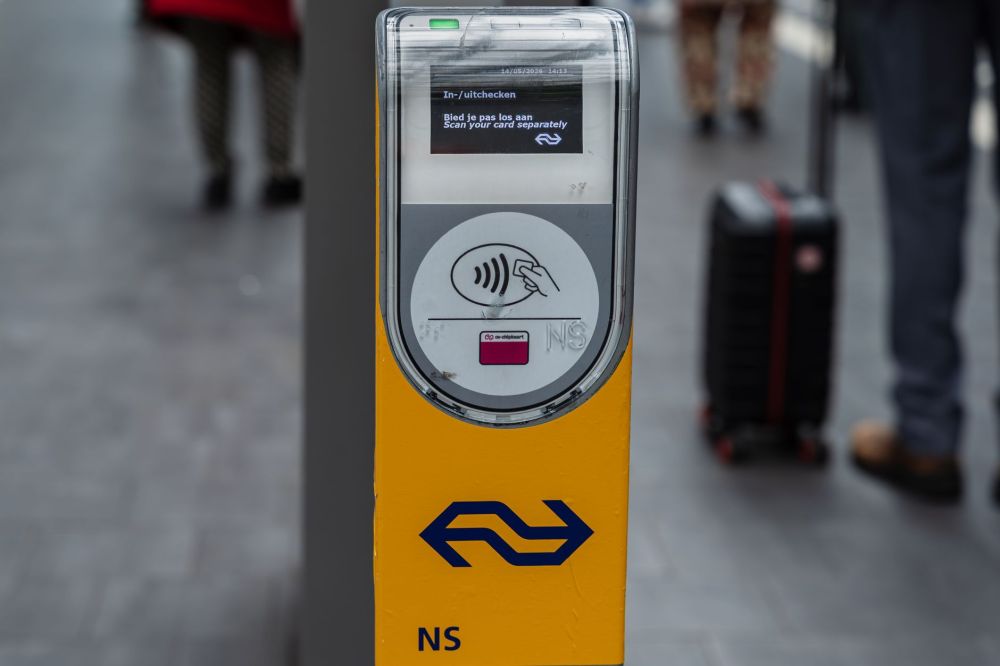
That sounds obvious, but a few habits help. Build your trip around the interchanges you know, such as Jurong East or Choa Chu Kang. Keep your payment simple with a contactless bank card, mobile wallet (SimplyGo) or EZ-Link card, since fares are distance-based and you tap in and out as usual. Official updates sit on the LTA website.
If you are choosing where to live or work, think about Stage 1 first. The 10 stations between Choa Chu Kang and Boon Lay and Tawas are the ones with a clear date. For a wider look at how the new line fits among all the others, our MRT line guide lists every line and its operator.
Before you tap in
The Jurong Region Line is close enough that you can start planning around Stage 1, but not close enough to change today’s commute. Bookmark our interactive Singapore MRT map to see how the network looks now, and come back when LTA announces the station names.
FAQ
Keep exploring
- Cross Island Line: Everything You Need To Know (2026)
- Choa Chu Kang MRT Station
- Singapore MRT Network: Lines, Fares & How It All Works