
Blog
Tampines bus contract: why Go-Ahead won despite higher bid
Transport Minister Jeffrey Siow confirmed that Go-Ahead Singapore's proposal scored highest on quality, earning the [...]
Continue readingNov

Blog
Sketching on the MRT: What If Someone Draws Your Child?
A mum spotted a stranger drawing her sleeping child on the MRT, and the stranger [...]
Continue readingNov
Blog
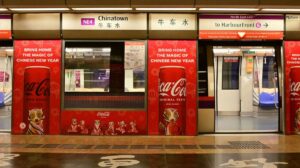
Getting to Sentosa by public transport: MRT, cable car and monorail
Sentosa is easy to reach without a car. From HarbourFront MRT, you can board a [...]
Continue readingNov
Blog
Vomit on MRT: What to Do When Your Cabin Is Soiled
Stomp reported on 8 October 2026 that peak-hour passengers avoided an MRT cabin after seeing [...]
Continue readingNov
Blog
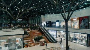
MRT shopping malls: Direct station connections in Singapore
Over 15 major shopping malls in Singapore connect directly to MRT stations, saving you the [...]
Continue readingNov

Singapore Bukit Panjang LRT Map
This Bukit Panjang LRT map shows the light rail line that serves Bukit Panjang and [...]
Aug

Sengkang-Punggol LRT
The Sengkang Punggol LRT map above shows the four light rail loops that serve the [...]
Aug

Thomson-East Coast Line
This Thomson-East Coast Line map shows the line Singaporeans often call the brown line, marked [...]
Aug

North-South Line Map
The North South Line map above traces the whole of Singapore’s red MRT line, coded [...]
Aug

North East Line Map
This North East Line map shows the full purple route of the NE line, running [...]
Aug

East-West Line Map
The East West Line map traces Singapore’s green line, running from Pasir Ris (EW1) in [...]
Aug

Downtown Line Map
This Downtown Line map shows the whole of Singapore’s blue line, coded DT, from Bukit [...]
Aug

Circle Line Map
The Circle Line map above traces Singapore’s orbital MRT route, drawn in orange with station [...]
Aug

Tamil
An MRT map in Tamil shows Singapore’s rail network with every station name written in [...]
Aug

MRT MAP in Bahasa Melayu
The MRT map in Bahasa Melayu above shows Singapore’s whole rail network with station names [...]
Aug