
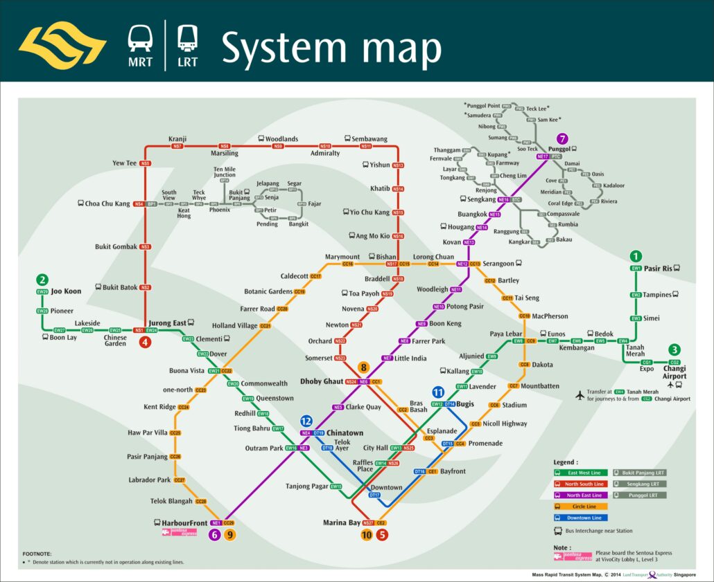
The MRT map 2014 is the official system map of Singapore’s rail network as it stood in 2014, shown in the image above. It captures a network in transition: the Circle Line was running, the first stage of the Downtown Line had only just opened, and the Thomson East Coast Line was still years away. […]
Tag Archives: MRT Map (2014)
Blog
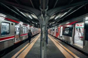
Lakeside MRT Delay: How to Beat the Morning Rush Queues
A brief delay during the morning rush on 21 October 2026 left long queues at [...]
Continue reading
22
Oct
Oct
Blog
Future MRT Map Singapore: Every New Line and Extension to 2040
The future MRT map of Singapore adds two completely new lines, the Jurong Region Line [...]
Continue reading
Blog
Labrador Park MRT: SMRT Staff Help Injured Cyclist
SMRT staff helped a cyclist with head and face injuries outside Labrador Park MRT and [...]
Continue reading
19
Oct
Oct

Blog
Chain collision of 3 buses in Yishun injures 5 riders
Five passengers were injured when a Tower Transit bus rear-ended an SBS Transit bus at [...]
Continue reading
16
Oct
Oct

Blog
Woodlands MRT Smokers Leave Butts: What Riders Can Do
The Independent Singapore reported on 13 October 2026 that smokers gathering near Woodlands MRT leave [...]
Continue reading
15
Oct
Oct