
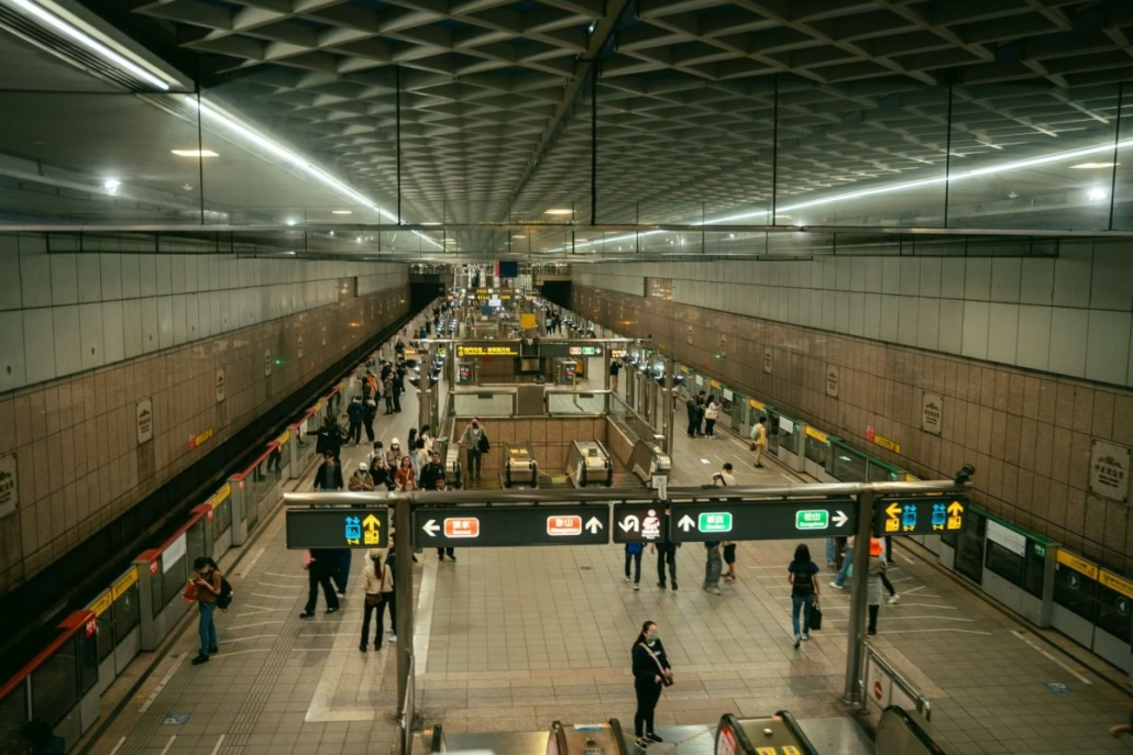
If you’ve ever stood at Paya Lebar or Dhoby Ghaut, head swivelling between two almost identical signs, quietly questioning your life choices, you are not alone. Wayfinding on the Circle Line has long been a mild headache for commuters and visitors alike. That’s now changing.
In this guide
- What You’ll Learn in This Article
- Why Did the Circle Line’s Wayfinding Need Fixing?
- What Has Actually Changed with the Circle Line Signs?
- How Does CCL6 Change the Navigation Picture?
- Which Stations Are Most Affected by the Sign Improvements?
- What Does Good Wayfinding Actually Look Like?
- Does Better Signage Change How You Should Plan Your Route?
- Passenger Feedback Channels: How to Make Your Voice Count
- Before You Tap In
- Frequently Asked Questions
What You’ll Learn in This Article
- Why Circle Line wayfinding has historically confused even regular commuters
- What specific improvements have been made to the signs
- How the CCL6 extension affects the overall network and signage logic
- Which stations are most affected by the changes
- Practical tips for navigating the updated CCL, especially if you’re new to it
Getting around Singapore? Find any station on the interactive MRT map, or save the PDF map to use offline.
Why Did the Circle Line’s Wayfinding Need Fixing?
The Circle Line is genuinely unusual. Unlike the North South Line or the East-West Line, it doesn’t run in a simple A-to-B direction. It loops. And for years, it ran as an incomplete loop, a horseshoe shape where trains at Harbourfront could only go one way, and the direction signs didn’t always make that obvious to a first-timer.
The real problem surfaces at major interchanges. At Dhoby Ghaut, you’re connecting between the CCL, the North South Line, and the North East Line. The CCL platforms sit on a lower level, and the signs leading there didn’t always clearly show whether the next train was headed towards Bishan or HarbourFront. Tourists found it baffling. Regulars just found it annoying. But annoying, five days a week, adds up fast.
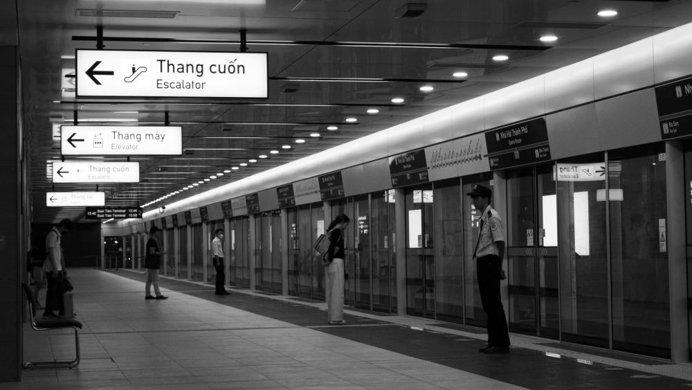
Passengers flagged this repeatedly through official feedback channels, and eventually those complaints reached a critical mass. According to The Straits Times on 2 July 2026, the Circle Line improvements resulted directly from passenger feedback. This is genuinely good to hear. The system works: tell the operators what’s wrong, and eventually things get fixed.
What Has Actually Changed with the Circle Line Signs?
The updated wayfinding signs focus on the moments when commuters actually need clarity: when alighting from a connecting train, when choosing which platform to board, and when walking through interchange corridors.
Key improvements hit stations where the CCL’s loop geometry confuses people. At Serangoon and Paya Lebar, where both CCL directions are roughly equidistant from popular destinations, the new signs provide more intuitive destination cues rather than just listing the next station on each side. Instead of just telling you that one platform goes to Bishan and the other to HarbourFront, the updated signs show which direction gets you there faster.
Exit signage has also been refreshed. Anyone who has alighted at Buona Vista and tried to find their way to Star Vista mall or the one-north campus knows the frustration of choosing the wrong exit and adding five minutes to their journey. Clearer exit labeling, with key landmarks called out more prominently alongside exit letters, is part of what’s changing now.
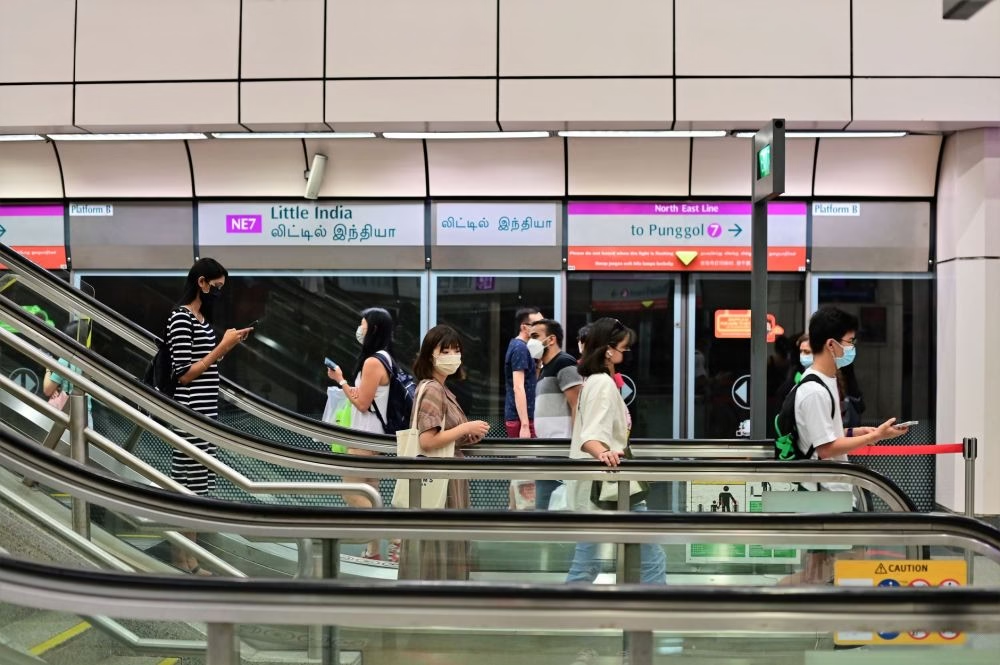
How Does CCL6 Change the Navigation Picture?
The timing of these improvements is no coincidence. The Circle Line is about to become significantly more complex for new users, with CCL Stage 6 opening for a public preview on 4 July 2026. Three new stations will be accessible during this preview period: Keppel, Cantonment, and Prince Edward Road.
These three stations finally complete the loop. The CCL was always designed to be a full circle, and CCL6 is the last piece. Once fully operational, trains run continuously around the loop in both directions, which entirely changes how you choose a platform. You’ll no longer be boarding a horseshoe. You’ll be boarding a ring.
Rides on the three new CCL6 stations are free during the preview on 4 July, giving you a great chance to explore before the full commercial launch. Familiarise yourself with the updated Circle Line MRT map now, before route changes become part of your daily commute.
The Three New CCL6 Stations at a Glance
| Station | Code | Key Nearby Landmark | Preview Status |
|---|---|---|---|
| Keppel | CC30 | Keppel Harbor, future Greater Southern Waterfront | Open from 4 July 2026 |
| Cantonment | CC31 | Tanjong Pagar, CBD southern fringe | Open from 4 July 2026 |
| Prince Edward Road | CC32 | Outram Park interchange, SGH campus | Open from 4 July 2026 |
Prince Edward Road is particularly interesting because it sits close to Outram Park, already a major interchange between the North East Line, the East-West Line, and the Thomson-East Coast Line (TEL). Adding a nearby CCL station makes the southern part of the network far more connected, but it also means wayfinding in this cluster needs to be absolutely spot-on.
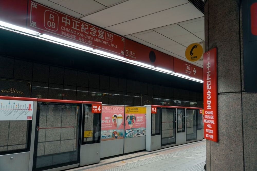
Which Stations Are Most Affected by the Sign Improvements?
The stations where clearer wayfinding makes the biggest difference cluster around interchanges and direction-choice points.
Dhoby Ghaut, as mentioned, is one of the trickiest for new users. Bishan is another, because it’s a large station shared with the North-South Line, and the CCL platform can feel remote from the main concourse. Serangoon, a three-line interchange with the NEL, sees huge passenger volumes and benefits immediately from clearer signs. The newly opened CCL6 stations will have wayfinding designed from day one, giving operators a chance to apply everything learned from years of passenger feedback at older stations.
For a bird’s-eye view of how all these stations connect across the network, our complete list of MRT stations in Singapore is a useful reference. You can also grab the latest Singapore MRT map PDF to see how the fully closed CCL loop looks on paper.
What Does Good Wayfinding Actually Look Like?
Good transit wayfinding is invisible when it works. You just end up in the right place. You notice it only when it fails, when you’ve gone down two flights of escalators and found yourself back at the fare gates pointing the wrong way.
The gold standard that transit planners reference is clarity at decision points. A decision point is anywhere a commuter has to choose: which platform, which exit, which corridor. At every one of those points, the sign should answer the question in your head before you consciously form it. That means relevant landmark names on exit signs, not just letters. It means platform signs showing both the next station and a recognizable terminus. It means consistent typography and positioning, so you don’t have to hunt for the sign each time.
Singapore’s MRT scores well on wayfinding by regional standards. If you’ve ever navigated Tokyo’s JR-versus-Metro puzzle or older parts of the London Underground, you’ll know how good we have it. But good isn’t the ceiling. The Circle Line improvements show that even a well-regarded system can be refined, and that passenger feedback drives real change.
Does Better Signage Change How You Should Plan Your Route?
For most regular commuters, the day-to-day impact will be a brief double-take the first few mornings you encounter a changed sign at your usual station, then appreciation. For visitors and new residents, the effect is far larger.
Once the full CCL6 loop is operational, the Circle Line will be one of Singapore’s most powerful connectors. It touches key destinations like Marina Bay (Bayfront), Orchard (via Caldecott and the TEL interchange), Changi Business Park (via Expo), and now the emerging Greater Southern Waterfront around Keppel. A well-signed CCL means more people use it confidently, which takes the load off crowded North South Line trains during peak hours.
Explore the full MRT line network to understand where the CCL sits relative to other lines, or check the MRT operating hours guide to plan around first and last trains, especially relevant if you’re heading out to the new CCL6 stations on opening weekend.
Passenger Feedback Channels: How to Make Your Voice Count
The improvements to Circle Line wayfinding didn’t happen by magic. They happened because enough commuters reported their frustrations through official channels, and the operator and LTA treated those reports as actionable data. That feedback loop matters.
You can submit feedback on MRT station facilities and signage through the LTA’s website, SMRT’s online feedback form, or the TransitLink hotline. In-station feedback kiosks are another option. Be specific: name the station, describe the exact sign or location, and explain what decision it failed to help you make. Vague feedback rarely translates into action; specific, reproducible problems do.
It’s also worth knowing that major infrastructure changes like CCL6 come with a formal public consultation period before construction, and LTA publishes updates through its official channels. Staying engaged with those updates helps you stay ahead of changes to your daily commute.
Before You Tap In
The improved wayfinding on the Circle Line is a quiet but meaningful upgrade, arriving just as the CCL completes its loop with three new stations and becomes a fundamentally different line to navigate. Heading down for the CCL6 preview on 4 July? Keep an eye out for the new signage, especially at Keppel, Cantonment, and Prince Edward Road, where the design has been applied from scratch. Bookmark our Circle Line MRT guide and the interactive Singapore MRT map for the latest network changes as they happen.
FAQ
What changes have been made to Circle Line wayfinding signs?
The Circle Line wayfinding signs have been improved to provide clearer directional information at interchange and split-direction stations, better exit labeling with landmark names, and more intuitive platform signs. The changes came directly in response to passenger feedback reported by The Straits Times in July 2026.
When do the new CCL6 stations open?
The three CCL6 stations, Keppel (CC30), Cantonment (CC31), and Prince Edward Road (CC32), open for a public preview on 4 July 2026, with free MRT rides available during the preview. According to the LTA, this completes the Circle Line into a full loop.
Which Circle Line stations are most affected by the wayfinding improvements?
Interchange stations tend to benefit most, including Dhoby Ghaut, Bishan, and Serangoon, where multiple lines meet, and commuters frequently need to choose between platforms or exits. The three new CCL6 stations also incorporate the updated wayfinding design from their opening day.
How do I give feedback about confusing MRT signs in Singapore?
You can submit feedback via the LTA’s official website at lta.gov.sg, SMRT’s online feedback form, or in-station feedback kiosks. Being specific about the station name, sign location, and the nature of the confusion gives your feedback the best chance of leading to a real change.
Does completing the Circle Line loop change how I should use the CCL?
Yes. Once CCL6 is fully operational, trains will run continuously in both directions around a complete loop rather than a horseshoe. This means both platforms at any given station will be valid options for your destination, and the updated wayfinding signs are designed to help you quickly pick the faster direction.