
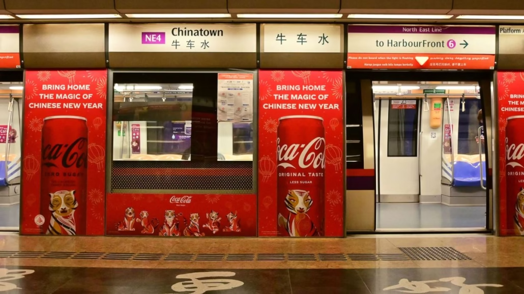
It took over 30 years, but Singapore’s Circle Line (CCL) finally closed its loop. Three brand-new stations, collectively known as CCL Stage 6 (CCL6), opened their fare gates to paying passengers on 12 July 2026, completing what is arguably the most anticipated chapter in the history of the local MRT network. The stations are Keppel (CC29), Cantonment (CC30) and Prince Edward Road (CC31).
In this guide
- What Are the Three New CCL6 MRT Stations?
- How Does the Completed Circle Line Change Travel Times?
- What Does This Mean for Visitors to Singapore?
- How Long Did the Circle Line Take to Build, and Why So Long?
- What Are the New Stations Like Inside?
- How Do You Pay to Ride the CCL6 Stations?
- Which Other Lines Connect to the CCL6 Stations?
- What Is the Greater Southern Waterfront, and Why Does It Matter?
- When Do the CCL6 Stations Operate?
- Before You Tap In
- FAQ
If you’ve ever had to take a bus from Tanjong Pagar to HarbourFront, or suffered through a long detour via Dhoby Ghaut just to reach VivoCity from the CBD, you’ll understand exactly why this matters. The circle is now, well, an actual circle.
What Are the Three New CCL6 MRT Stations?
The three CCL6 stations each serve a distinct part of Singapore’s southern edge, and together they fill a gap that has existed in the network since the Circle Line first opened in stages from 2009 onwards. According to the Land Transport Authority (LTA), the extension runs approximately 4 kilometres underground through some of Singapore’s most densely layered urban terrain.
Keppel (CC29) is the station closest to HarbourFront and the Keppel Bay area. It sits just one stop away from HarbourFront (CC1/NE1), which means the Circle Line now genuinely wraps around. Passengers travelling from Marina Bay or Dhoby Ghaut can now complete a full loop rather than having to double back.
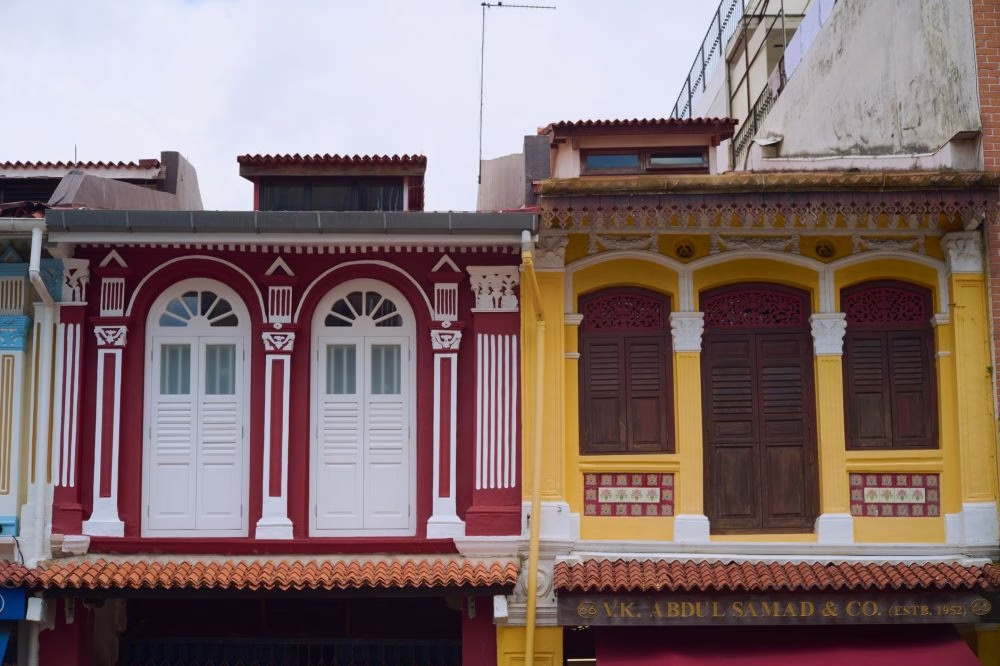
Cantonment (CC30) is the middle station of the trio, positioned to serve the historic Tanjong Pagar and Cantonment Road belt. This area is thick with pre-war conservation shophouses, boutique hotels and the increasingly popular Duxton Hill dining strip. There has never been a direct rail stop here before. That changes everything for visitors exploring Singapore’s colonial-era south.
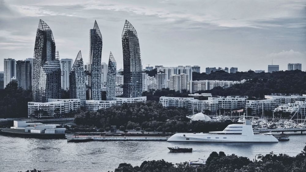
Prince Edward Road (CC31) sits between Cantonment and HarbourFront, and is expected to anchor a large slice of the Greater Southern Waterfront (GSW) development that Singapore has been planning for well over a decade. The GSW spans roughly 2,000 hectares of prime land being progressively released as older port operations shift away, and Prince Edward Road is positioned to be its primary rail gateway for years to come.
How Does the Completed Circle Line Change Travel Times?
The newly completed Circle Line creates a continuous loop of 33 stations stretching from HarbourFront all the way around through Dhoby Ghaut, Marina Bay, and back. Before CCL6, passengers travelling between HarbourFront and Tanjong Pagar by MRT had to take a bus or use the East-West Line via Outram Park, adding considerable time to what is, in physical terms, a short distance.
Here’s a practical comparison of journey times before and after CCL6 opened, based on typical travel times as of July 2026:
| Journey | Before CCL6 | After CCL6 | Saving |
|---|---|---|---|
| HarbourFront to Marina Bay (CCL) | Around 35 min (via Dhoby Ghaut) | Around 10 min (direct via CCL6) | ~25 min |
| Tanjong Pagar area to Dhoby Ghaut | Bus + EWL, ~25 min+ | CCL direct, around 20 min | ~5-10 min |
| Marina Bay to HarbourFront (shortest) | EWL via Outram Park, ~15 min | CCL direct, around 8 min | ~7 min |
| Botanic Gardens to Keppel | Not possible on CCL alone | Single CCL ride, ~30 min | No transfer needed |
These are approximate figures based on scheduled travel times and standard platform dwell periods. Your actual journey will vary slightly depending on which direction around the loop you board. The Circle Line MRT map now shows all 33 stations in a complete ring for the first time.
What Does This Mean for Visitors to Singapore?
For tourists, the completed Circle Line is the most significant improvement to sightseeing connectivity in the southern half of Singapore in years. The CCL already passes through or near some of the city’s biggest attractions: Gardens by the Bay (Bayfront), Marina Bay Sands (Bayfront), Orchard Road (Caldecott interchange via Bus, or change at Dhoby Ghaut to North-East Line), the Singapore Botanic Gardens (Botanic Gardens CC19), and now, the entire southern waterfront corridor.
Cantonment station in particular is a genuine addition to any heritage-focused itinerary. Tanjong Pagar, the streets around Duxton Hill and the strip of restored shophouses along Club Street are all within comfortable walking distance. Visitors staying in the CBD or Marina Bay can now reach this neighbourhood directly by rail, without a taxi.
Keppel station puts HarbourFront, VivoCity and the cable car terminal to Sentosa all within one MRT stop. If you’re planning a Sentosa trip, knowing how to get there by MRT is worth brushing up on before you go. And Prince Edward Road gives early access to the GSW’s initial public spaces, even as the broader district is still years from full completion.
How Long Did the Circle Line Take to Build, and Why So Long?
The Circle Line story stretches back to the early 1990s, when planners first conceived of a ring line that would orbit the city centre and allow passengers to switch between radial lines without heading into the central interchange stations. Construction on the various stages began progressively, with the first section opening in 2009. However, the final link between HarbourFront and the existing CCL terminus was held back by a combination of engineering complexity, land constraints in the dense southern district, and, later, the disruptions of the COVID-19 period.
According to LTA, the three CCL6 stations involved substantial underground civil works beneath some of Singapore’s most congested road and port infrastructure. That explains the timeline. More than 30 years from concept to completion is a long run, even by Singapore standards.
The public got a first look during a free preview weekend that kicked off on 4 July 2026, when LTA opened the stations for non-revenue rides. Thousands of curious Singaporeans turned up over that weekend to walk the platforms, check the finishes, and yes, take photographs. Full fare-paying service began on 12 July 2026.
You can read our detailed overview of what those preview days looked like in our article on the Circle Line Stage 6 opening and CCL completion.
What Are the New Stations Like Inside?
All three CCL6 stations follow the design language introduced across newer MRT stations in Singapore: high ceilings, generous platform widths, step-free access via lifts throughout, and tactile guidance strips for visually impaired commuters. Cantonment, in particular, has drawn attention for its architectural references to the area’s colonial and military heritage, though the execution is contemporary rather than ornate.
Retail and food options at the new stations are already up and running. The Straits Times reported ahead of opening that there are around 15 food and beverage options spread across the three stations, ranging from matcha-themed desserts to beef rendang and Japanese pasta. Our own roundup of the best eats at the CCL6 stations is worth bookmarking before your first visit.
Platform screen doors are fully installed, as is standard for all stations opened in Singapore post-2000. Paid concourse areas are air-conditioned. Each station also has a customer service office and the standard complement of stored-value top-up machines and SimplyGo readers.
How Do You Pay to Ride the CCL6 Stations?
Payment at Keppel, Cantonment and Prince Edward Road works exactly the same way as every other MRT station in Singapore. You can tap in and tap out using an EZ-Link card, a SimplyGo account, a Singapore Tourist Pass, or a contactless Visa or Mastercard bank card. Adult fares on the Circle Line are distance-based and typically start from around S$1.19 for very short trips, rising to around S$2.37 for longer cross-network journeys, as of current fare schedules.
Concession fares apply for students, senior citizens and persons with disabilities who have registered their cards accordingly. If you’re unsure which payment method suits you best, our breakdown of how to pay for the Singapore MRT covers every option in plain language. For official fare information, the Land Transport Authority website maintains the current fare tables.
Which Other Lines Connect to the CCL6 Stations?
None of the three CCL6 stations are interchange stations in their own right, but they sit close enough to existing interchange points that the connectivity is strong. Keppel is one stop from HarbourFront, which serves both the Circle Line and the North East Line (NEL). That makes Keppel effectively one transfer away from the entire North East Line corridor, stretching from HarbourFront all the way to Punggol.
Cantonment is two stops from Outram Park, which is a three-way interchange serving the East-West Line (EWL), the NEL and the Thomson-East Coast Line (TEL). That is one of the busiest interchange clusters in the network, and Cantonment’s proximity to it gives residents and visitors in that micro-catchment genuine multi-directional options without a long walk.
Prince Edward Road sits between Cantonment and HarbourFront, and while it currently serves a relatively low-density catchment, that will change substantially as Greater Southern Waterfront development progresses. Think of it as a station that is underused today but has been built for the next 20 years of urban growth.
For a full picture of how the Circle Line sits within the broader Singapore MRT network, the complete list of MRT stations in Singapore and our interactive Singapore MRT map are the fastest way to plan your route.

What Is the Greater Southern Waterfront, and Why Does It Matter?
The Greater Southern Waterfront is Singapore’s largest urban transformation project currently under way. It covers roughly 2,000 hectares of land along the southern coast, from Pasir Panjang in the west to Marina East, running through areas including Keppel, Tanjong Pagar Terminal, and Pulau Brani. As port operations progressively shift to the new Tuas Mega Port, this enormous swathe of prime waterfront land becomes available for homes, parks, commercial space and public promenades.
The three CCL6 stations were designed with the GSW in mind. Keppel and Prince Edward Road in particular are sited to serve the first phases of GSW development, ensuring that when new residents and workers arrive, rail infrastructure is already in place. It’s the kind of planning Singapore does well: build the train before the buildings, not after.
For visitors today, the practical takeaway is that the southern waterfront trail, the Labrador Nature Reserve, and the initial public spaces of the GSW are already accessible by MRT in a way they simply were not before 12 July 2026. If you’re building a walking itinerary along Singapore’s southern coast, the Circle Line now makes it far easier to stitch together. Our three-day Singapore MRT itinerary has been updated to reflect the new stations.
When Do the CCL6 Stations Operate?
The three new stations follow the same operating hours as the rest of the Circle Line. Trains begin running from around 5.30am and the last trains depart shortly after midnight, with exact timings varying slightly by direction and day of the week. For precise first and last train timings at Keppel, Cantonment and Prince Edward Road, check our detailed guide on Singapore MRT operating hours, which covers all lines including the latest CCL6 additions.
Train frequency on the Circle Line runs at around three to five minutes during peak hours on weekday mornings and evenings, easing to around six to eight minutes during off-peak periods. The CCL6 stretch is served by the same fleet operating the rest of the loop, so no special service pattern applies.
Before You Tap In
The opening of Keppel, Cantonment and Prince Edward Road on 12 July 2026 is a genuine milestone for Singapore’s rail network, and it has real, practical benefits for anyone travelling between the southern waterfront, the historic Tanjong Pagar district, and Marina Bay. Whether you’re a daily commuter who has been waiting years for this or a visitor planning a southern Singapore walking tour, the completed Circle Line is your most direct tool. Check the Circle Line MRT page for the full updated route map, and use our ultimate Singapore MRT guide for first-time visitors to make the most of every journey.
FAQ
Keep exploring
- Circle Line Stage 6 Opens: CCL Now Complete After 30 Years
- 15 Eats to Try at Circle Line’s New CCL6 Stations
- Singapore Tourist Pass vs. EZ-Link vs. SimplyGo: Which is Best for Tourists?